Deutsch: Erdbeobachtung / Español: Observación de la Tierra / Português: Observação da Terra / Français: Observation de la Terre / Italiano: Osservazione della Terra
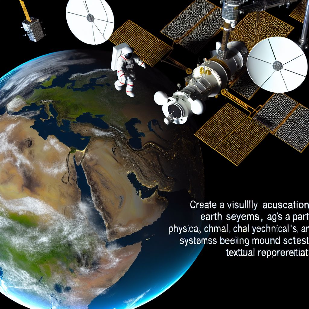
Earth Observation in the Space industry context refers to the process of monitoring and collecting data about the Earth's physical, chemical, and biological systems via remote sensing technologies aboard Satellites and Spacecraft. This field is crucial for understanding environmental changes, managing natural resources, supporting agriculture, predicting weather patterns, and contributing to disaster management. Earth observation enables the continuous, comprehensive, and detailed analysis of global environmental and societal changes, providing invaluable insights for Science, policy-making, and commercial applications.
Description

The capability to observe Earth from space has revolutionized our understanding of the Planet, climate change, and human impact on natural systems. By utilizing a variety of sensors and instruments, Earth observation satellites can collect data across a wide Spectrum of electromagnetic wavelengths, enabling the detailed study of phenomena such as Ocean currents, land use changes, atmospheric gases, and much more. This data supports a wide range of applications, from improving weather forecasts to monitoring deforestation, managing Water resources, and observing urban expansion.
Application Areas
Earth observation has a broad range of applications, including:
- Climate Change Monitoring: Tracking global Temperature, ice melt rates, sea-level rise, and greenhouse gas concentrations.
- Agricultural Management: Assessing crop health, soil moisture levels, and predicting yields to support sustainable farming practices.
- Disaster Response and Management: Providing Real-time data on natural disasters like hurricanes, floods, and wildfires, aiding in preparedness and response efforts.
- Urban Planning and Development: Monitoring urban sprawl, Infrastructure development, and land use changes for better urban management.
- Environmental Protection: Observing changes in ecosystems, biodiversity loss, and the impacts of pollution on natural habitats.
Well-Known Examples
Notable Earth observation programs and satellites include:
- NASA's Landsat Program: A series of satellites providing detailed images of Earth's surface, contributing to environmental Research and land management since 1972.
- The European Space Agency's Copernicus Program: Offering a comprehensive suite of Sentinel satellites that Monitor the land, oceans, Atmosphere, and climate.
- NOAA's GOES Series: Geostationary satellites that provide real-time data on weather conditions and climate trends over the Western Hemisphere.
Treatment and Risks
While Earth observation provides Critical data for managing Earth's resources and Environment, there are challenges and risks involved:
- Data Overload: Managing and processing the vast amounts of data generated by Earth observation satellites requires advanced computational resources and algorithms.
- Accessibility and Equity: Ensuring that the data and insights gained from Earth observation are accessible to all countries and communities, regardless of their economic status.
- Space Debris: The increasing number of satellites and debris in Orbit poses a risk to Earth observation satellites and other space assets.
Similar Terms or Synonyms
- Remote sensing
- Satellite imagery analysis
- Space-based Earth monitoring
Summary
Earth Observation represents a fundamental Activity within the space industry, providing essential data for understanding and managing the Earth's environment and resources. Through the deployment of advanced satellites and sensors, this field enables the monitoring of climate change, supports sustainable development, and aids in disaster preparedness and response, offering critical insights for the benefit of humanity and the planet.
--
Related Articles to the term 'Earth Observation' | |
| 'Disaster Management' | ■■■■■■■■■ |
| Disaster Management in the space industry context refers to the application of space-based technologies . . . Read More | |
| 'Vegetation' | ■■■■■■■■■ |
| Vegetation in the context of the space industry refers to the study and monitoring of plant life on Earth . . . Read More | |
| 'Imagery' | ■■■■■■■■■ |
| Imagery in the space industry context refers to the collection and analysis of visual data captured from . . . Read More | |
| 'Spire' | ■■■■■■■■ |
| Spire is a company and technology provider in the space industry. The company is known for its work in . . . Read More | |
| 'Satellite Imaging' | ■■■■■■■■ |
| Satellite Imaging in the space industry refers to the capture of images of Earth or other Celestial bodies . . . Read More | |
| 'Salinity' | ■■■■■■■ |
| Salinity: In the space industry context, salinity refers primarily to the measurement and study of the . . . Read More | |
| 'TerraSAR-X' | ■■■■■■■ |
| TerraSAR-X is a German Earth observation satellite that uses Synthetic Aperture Radar (SAR) to deliver . . . Read More | |
| 'Ground-Based Astronomy' | ■■■■■■■ |
| Ground-Based Astronomy refers to the observation and study of celestial objects and phenomena using telescopes . . . Read More | |
| 'High-definition' | ■■■■■■ |
| High-definition in the space industry context refers to the use of advanced imaging and data collection . . . Read More | |
| 'Clarity' | ■■■■■■ |
| Clarity in the space industry context generally refers to the level of detail and sharpness in the visual . . . Read More | |
